DECADE OF A MAJOR MILESTONE THE FIRST TWO OF FOUR WEATHER SATELLITES LAUNCHED IN 2017 AND 2018.
- Brandon Shipp

- Dec 31, 2019
- 1 min read
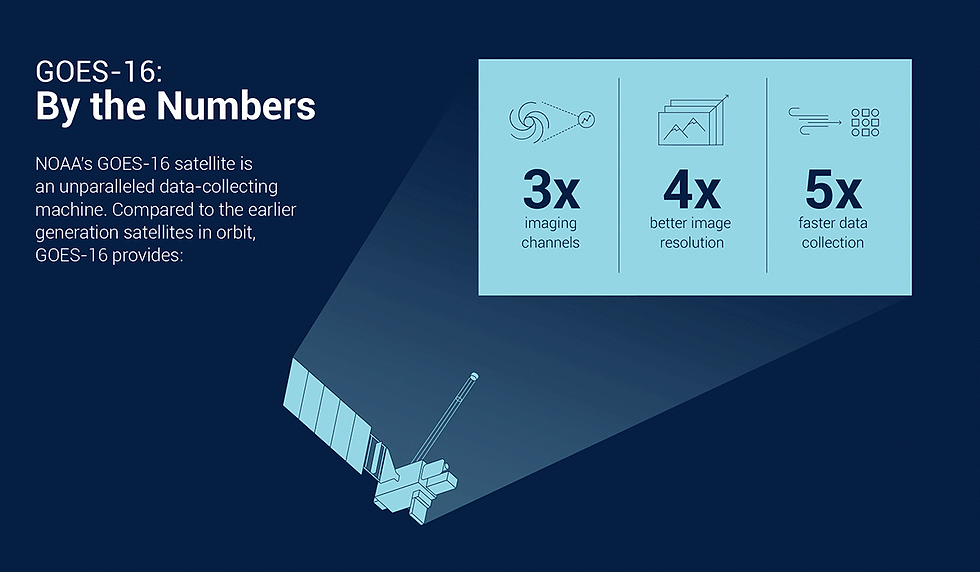
In 2017 the first of four new weather satellites was launched into space by the United Launch Alliance at Cape Canaveral. GOES-16, or the 16th Geostationary Operational Environmental Satellite, brought weather satellite imagery into high-definition. Launched back in 2016, the satellite became operational in 2017, bringing stunning imagery and new technology to forecasters across the United States. With five times faster satellite mapping, including the ability to take a snapshot every 30 seconds with four times better resolution than the last satellite, GOES-16 quickly became a tool for severe weather and hurricane forecasting.
The satellite was the first to feature a Global Lightning Mapper or GLM. It's the first operational track of both in-cloud and cloud-to-ground lightning in geostationary orbit. This tool helped throughout the year and still helps determine what thunderstorms were more likely to produce severe weather and if a hurricane was rapidly intensifying against the forecast. It is a very useful tool for tracking major severe storms and hurricanes. Then in 2018 GOES-17 launched it is the second of the current generation of weather satellites operated by the National Oceanic and Atmospheric Administration. The four satellites of the series will extend the availability of the GOES until 2036 for weather forecasts and meteorology research. GOES 17 monitors the west coast and Paific while GOES-16 Monitors the eastern half of the US, The Atlantic Ocean, and the Gulf Of Mexico!


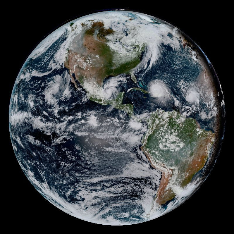
(HURRICANE DORIAN AS SEEN ON GOES 16)


Comments